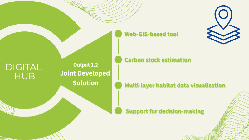
Joint Developed Solution
The Joint Solution is a result of the Pilot Action by using the acquired dataset (UAS imagery, in-situ measurements) in a GIS-based tool that converts the spatial extent of the mapped seagrass meadows to stored carbon units while at the same time providing several layers of information on habitat characteristics and services.
a) the Monitoring Tool: The tool visualizes the results of the detailed habitat mapping in different spatial scales.
b) the Blue Carbon tool: The tool produces maps of blue carbon stocks by extrapolating in situ point measurements at representative locations in each study site to region-wide stock values based on the spatial data from habitat mapping.
c) the Decision Support tool: The tool performs different management scenarios or implementation of nature-based solutions (e.g., ecosystem restoration) in a specific area of the Adriatic-Ionian.